Overview
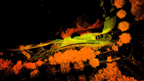
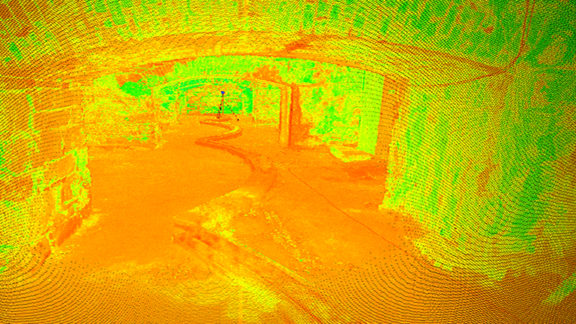
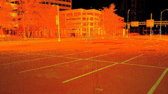
3D Laser Scanning, sometimes referred to as High Definition Surveying (HDS) or ground based LIDAR, is a process by which large volumes of highly accurate data is captured at a rapid pace. This alternative method to traditional survey techniques is used to acquire data in the form of a 3-Dimensional cloud of points. The resulting point cloud may contain millions of points collected at such a high resolution that shapes of complex objects can be measured with great detail.
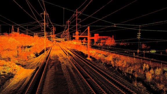
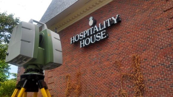
Timmons Group utilizes a Leica ScanStation P40. This new, fast, and versatile scan system is capable of collecting up to 1 million data points per second over a full field of view with accuracies measured in millimeters from a remote and safe location. This makes our system very beneficial for surveying and mapping dangerous work zones like busy roadways, tunnels, power plants, and quarries and complex structures such as bridges, buildings, mechanical rooms, and towers.
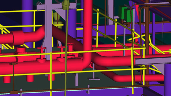
The deliverables that can be extracted or created from the scan data include raw point clouds, cross sections and profiles, conventional CAD drawings exported to AutoCAD or Microstation and complex 2D and 3D models. Timmons Group can also offer our clients access to Leica TruView software where they can view panoramic images of their high definition survey, provide mark-ups and take accurate measurements.
Projects