Overview
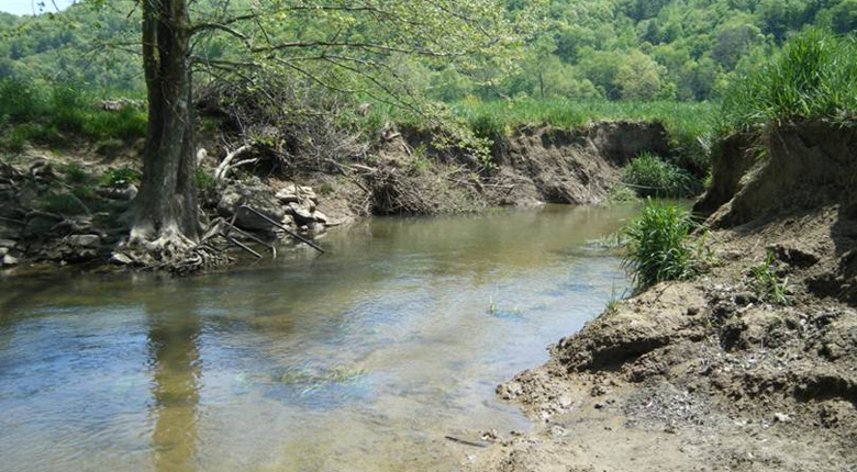
The Spanishburg Mitigation Site is an approximately 273 acre site located in Mercer County with a drainage area of approximately 20.5 square miles. The Mitigation Site was historically and is currently used for agricultural purposes which include cattle and hay production. The site consists mostly of open fields in the valley with mid successional hardwood forest covering the adjacent mountainous slopes. The surrounding agricultural practices have caused severe instability and erosion along the stream banks of Rich Creek and its tributaries and evidence of channel alterations are prevalent throughout the site and consist of channelization, gabion baskets, spoil piles, and stream crossings. The goal is to provide a combination of restoration, enhancement and preservation of approximately 15,500 linear feet of stream channel, enhancement of approximately 8 acres of wetland and restoration of approximately 4 acres of wetlands. The proposed activities will significantly increase useable habitat and water quality for a variety of wildlife species.
The proposed primary Geographic Service Area (GSA) is the Middle New Watershed (HUC 05050002) with the Lower New Watershed (05050004) proposed as the secondary GSA. We have worked with the IRT to beta test the ongoing development of the West Virginia Stream and Wetland Valuation Metric.