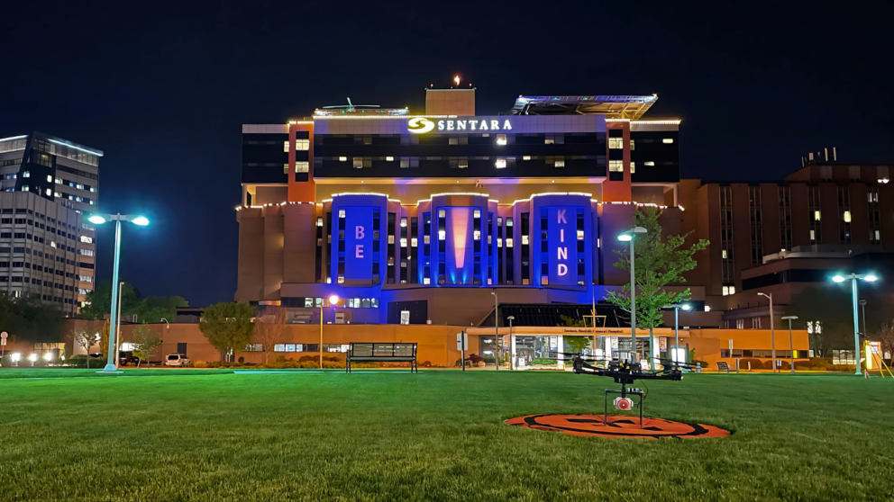
Overview
Timmons Group provided site/civil engineering, surveying, and remote sensing services to support the expansion of the Central Sterilization Services facility at Sentara Norfolk General Hospital. Our Remote Sensing team completed aerial topography and flood modeling services across the approximately 60-acre campus, leveraging in-house small Unmanned Aerial Systems (sUAS) to capture detailed LiDAR and photogrammetric data.
To accommodate the active hospital environment and ensure flight safety, LiDAR data collection was strategically performed at night in close coordination with Nightingale helicopter personnel and hospital operations teams. This approach allowed for uninterrupted emergency services while enabling the acquisition of precise topographic and floodplain data.
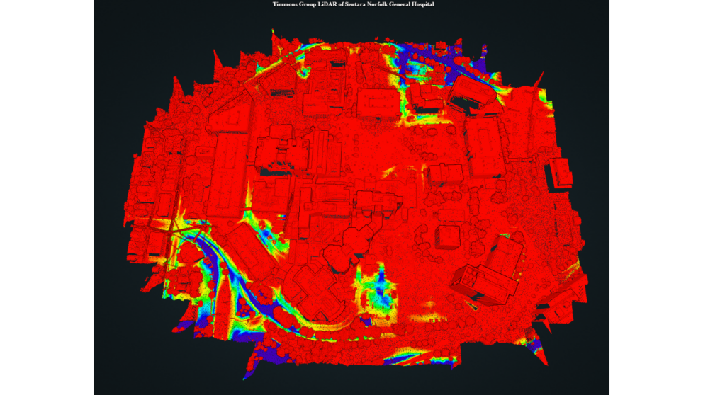
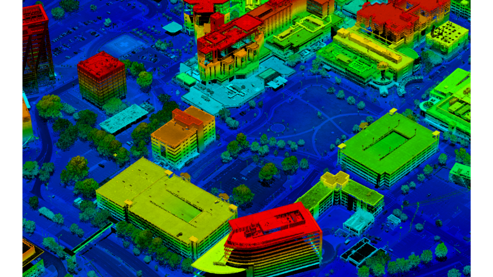
The aerial survey produced a Digital Terrain Model (DTM) surface and 2D planimetric mapping to support flood modeling and stormwater planning efforts over a 100-year period. By using advanced sUAS technology and in-house data processing, Timmons Group significantly accelerated project timelines, delivering high-resolution mapping and flood risk assessments faster than traditional ground survey methods.
The resulting data informed the hospital’s design strategies for flood mitigation, helping the hospital plan for potential flood impacts under a 100-year storm event and contributing to the overall resilience of the expanded facility.