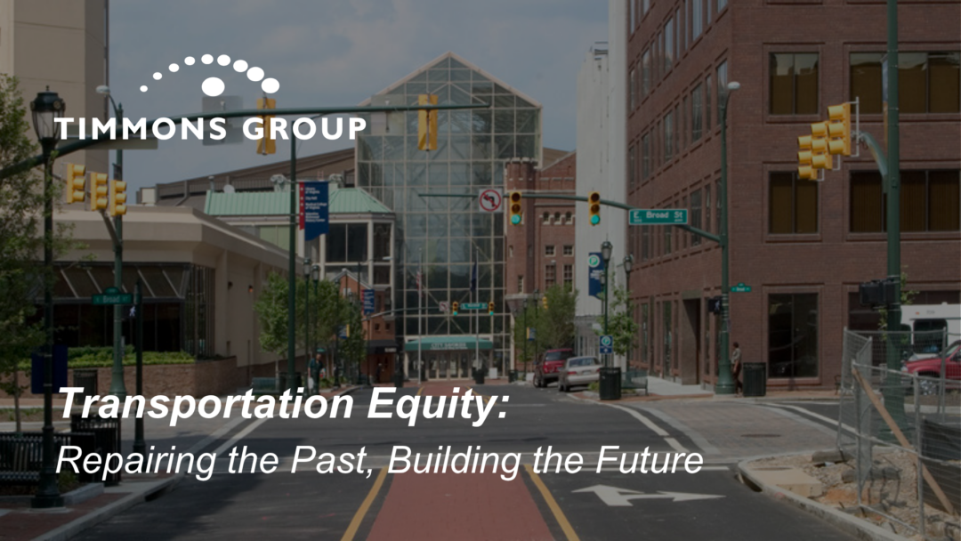
Transportation equity means making decisions with community input and ensuring fair, unbiased access to multimodal transportation infrastructure. But this principle isn’t just about planning for the future, it’s about addressing the inequities created by past policies.
The Legacy of Redlining & Urban Renewal
In the 1930s, federally drawn redlining maps categorized Richmond neighborhoods by perceived investment risk. Predominantly Black neighborhoods were marked as “hazardous” (Grade D), systematically denying them access to credit and investment.
This led to decades of disinvestment in infrastructure, housing, and public services.
The impacts are still visible today:
- Urban Renewal: Areas like Jackson Ward, Court End, and Fulton were demolished in the mid-20th century for highways, large public projects, and industrial expansion.
- Infrastructure Disparities: Redlined areas were bypassed for road improvements, sewer upgrades, and public transit expansions.
- Environmental Inequities: Fewer trees and green spaces mean hotter temperatures and poorer air quality.
- Economic Consequences: Lower property values, reduced generational wealth, and limited access to quality housing and services.
Neighborhoods like Manchester, Blackwell, Church Hill, Jackson Ward, and Shockoe Bottom still bear these burdens. While some are now facing gentrification, others continue to struggle with inadequate infrastructure and rising displacement pressures.
Funding as a Path to Equity
If lack of funding helped create these inequities, then targeted investment can help undo them. Richmond Connects is utilizing 10 equity factors identified in Path to Equity: Policy Guide for Richmond Connects to prioritize historically excluded areas of the City, especially those with BIPOC (Black, Indigenous, and People of Color) residents and low-income neighborhoods. The Richmond Connects Action Plan identifies equity-based transportation improvements that need funding to move from concept to reality.
Timmons Group’s Role: Engineering & GIS
Since 2022, Timmons Group has been partnering with the City of Richmond’s Office of Equitable Transit & Mobility (OETM) to address transportation inequities through integrated solutions. Our engineering and geospatial technology experts provided recommendations, including tangible projects, strategies, programs, and policies for a more equitable transportation network for the City of Richmond.
Our geospatial technology experts leveraged Esri ArcGIS tools to map areas for improvement and identify ways to connect with residents for feedback. This includes a dedicated ArcGIS StoryMaps website with project updates.
They also conducted a comprehensive geospatial analysis of existing infrastructure and population characteristics, including assessment geographies to ensure equitable data collection. To address systemic inequities, Timmons Group integrated additional metrics into its analysis, such as historic redlining patterns and areas of historic disinvestment.
During the writing of the Richmond Connects Strategic Plan, our Traffic Safety & Analysis team designed preliminary engineering drawings for 30 of the highest-priority projects and crafted high-level cost estimates for all 200+ projects.
Timmons Group’s Role: Grant Writing
Beyond planning, engineering, and GIS services, Timmons Group continues to support OETM secure funds for project implementation by:
- Researching grant opportunities and matching those opportunities with relevant Richmond Connects projects
- Preparing technical documentation for grants, including engineering drawings and cost estimates
- Writing and submitting grant applications
Over the past several years, Timmons Group has supported Richmond Connects and OETM in applying for more than $133M in funding and securing $380,040 in awards, with more than $1M in grant requests pending as of November 2025. These are critical investments that ensure community-driven projects have the resources to repair historical injustices and create a more equitable transportation future.