Overview
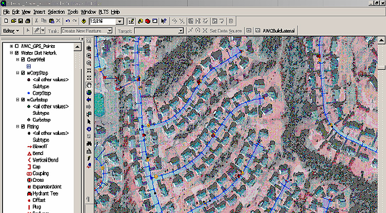
Timmons Group integrated a complete GIS geodatabase into a water model simulation software. The water model integrates all features, as imported from GIS, into a functioning model which would normally require manual data input of all the water system features (well pump curves, customer consumption, pressure zones, tank capacity & levels, etc.). Multiple simulation scenarios were built into the model, including Average and Peak Demands, as well as Fire Flow conditions throughout the system. The model was then transferred to the client, in order for them to optimize their system, integrate system changes, and manage their assets. The model includes approximately 75,000 service connections, 750 miles of distribution line, 128 pumps and 19 tanks.