Overview
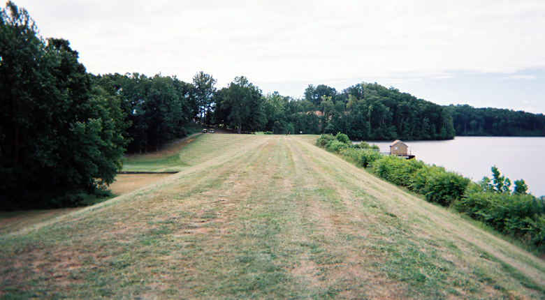
Mountain Run dams #50 and #11 are existing earthen dams located near the Town of Culpeper, Virginia. The dams currently serve as flood control, water supply and recreational lakes for the surrounding area and are owned and maintained by the Town of Culpeper. Timmons Group entered into a contract with the Town of Culpeper to perform the work needed to prepare a detailed failure analysis for both of the dams in accordance with the Division of Dam Safety requirements.
Our services included the tasks to perform a detailed hydrologic analysis for the watershed draining to each of the dams and to a point approximately 10 miles downstream of the dams. A hydraulic analysis of each dam was performed to determine the existing outlet structure capacity and their ability to convey the required spillway design storm flow in accordance with Dam Safety regulations. A detailed dam failure analysis utilizing HEC-RAS was prepared to route the non-breach and breach storm events through the area approximately 10 miles downstream of the dams. Hazard area mapping as required by the Division of Dam Safety was prepared in order to verify the hazard classification for each of the dams.
Timmons Group utilized the existing county GIS information available to perform the analysis, prepare the mapping and provide cross section information. The final mapping information was provided in ArcMap GIS format to be included within the County’s mapping data. This data enables the County to look at the inundation limits within their GIS system to provide information for their emergency response personnel along with their planning and land development departments.
The required Dam Safety inspection and certification forms were prepared for each of the dams. All information was submitted to the Division of Dam Safety in order to obtain an updated classification for the dams in accordance with the September 2008 Impounding Structure Regulation requirements.