Overview
Lake Carroll Dam Safety Improvements – Stafford County, VA
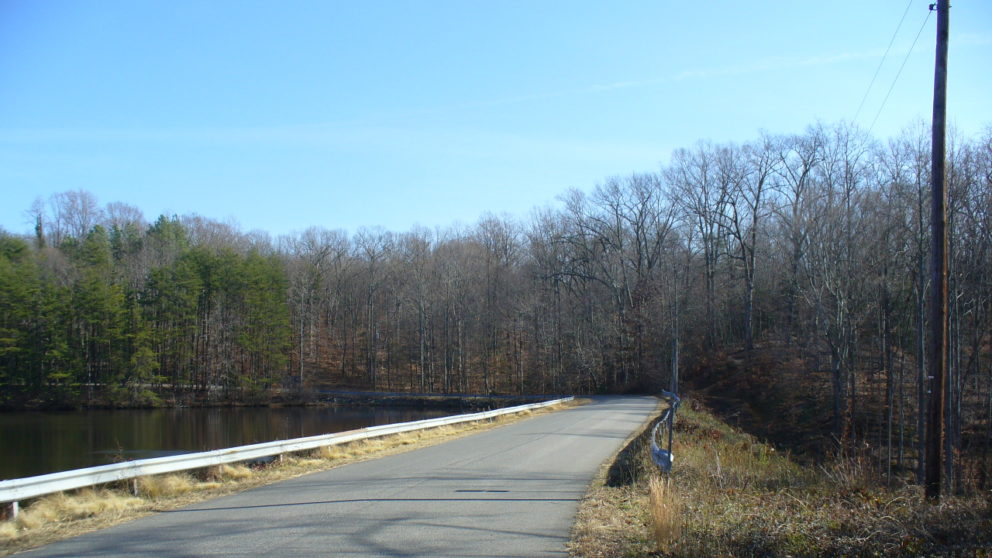
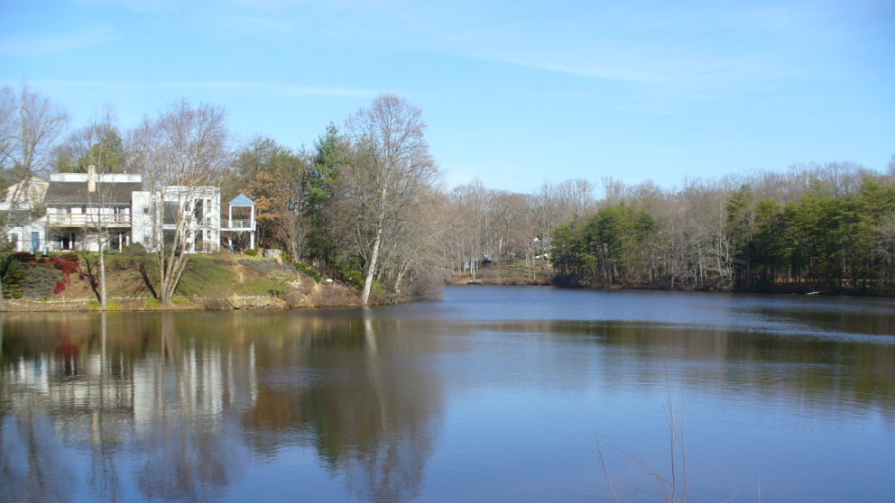
Lake Carroll Dam is a vital earthen structure that impounds the 13.6-acre Lake Carroll in Stafford County, Virginia. This dam plays a crucial role in managing water flow into an unnamed stream that eventually feeds into the Rappahannock River. Owned by the local homeowners, the dam adheres to Virginia’s Impounding Structure Regulations.
To maintain compliance and enhance public safety, the dam owners partnered with Timmons Group in 2017 to create the plan set for the installation of HydroTurf overtopping protection, repair the principal spillway, install a toe drain, and outlet protection. At this time, Timmons Group also helped the dam owners secure funding for the studies from the Virginia Department of Conservation.
In December of 2024, the dam owners again procured Timmons Group to help apply for grants to reimburse the cost of engineering design and construction. This collaboration led to the successful submission of the Virginia Dam Safety Grant application, securing essential funding for the project.
Timmons Group has provided a comprehensive suite of services for the Lake Carroll / Kennedy Dam project, including:
- Field investigation and data collection
- Watershed and land use analysis
- Hydrologic and hydraulic modeling
- Dam breach and inundation mapping
- Hazard classification
- Surveying
- Environmental permitting
- Grant writing
- Engineering design
- Bidding support
- Construction oversight (upcoming)
Funding Source: Virginia Department of Conservation & Recreation, Virginia Dam Safety, Flood Prevention and Protection Assistance Fund
Funds Awarded: $750,000 in 2024