Overview
The Sidewalk Implementation Plan will provide a countywide sidewalk location masterplan to Chesterfield County. The project includes identification and prioritization of sidewalk segments to expand the existing sidewalk network to serve areas most in need of multi-modal options.
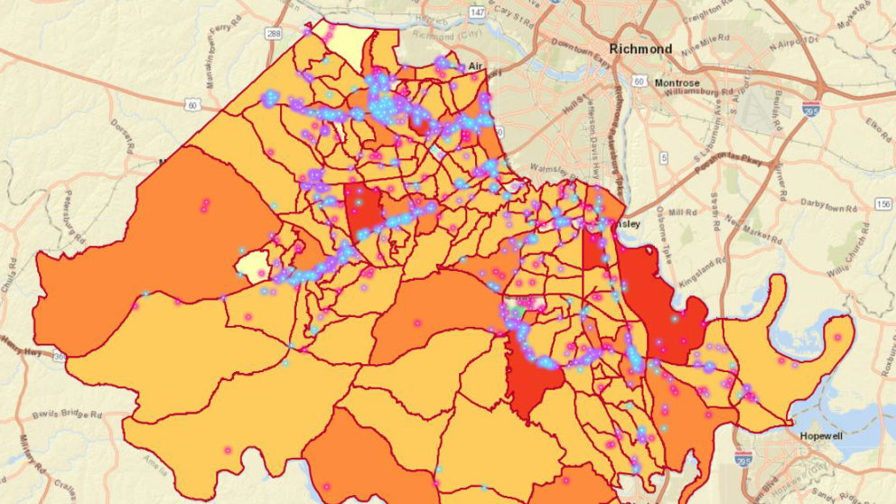
GIS spatial analysis of existing land uses, demographics, socioeconomic characteristics, and public services were utilized to determine preferred locations for sidewalk network completion and expansion throughout Chesterfield County. Timmons Group coordinated with Chesterfield County staff to obtain GIS layers related to the existing sidewalk network and the County Bikeways & Trails Plan. A dataset of locations along existing roadways was compiled that represents potential new bicycle or pedestrian paths.
Timmons Group also coordinated with County staff to hold multiple meetings with all stakeholders to ensure the implementation plan was useful. The deliverables include a validated GIS existing sidewalk data layer, a dataset of proposed sidewalk locations, a Story Map to visualize the scoring methodology, and a technical report to summarize the entire project.
Based on the available data, field verification will be used to identify constructability, right-of-way, utilities, environmental hazards, and other constraints along the study corridors. This includes manual observations of traffic flows and operations, as well as verification of roadway geometry, drainage structures, roadside hazards, grading impacts, and other adjacent design constraints.