Overview
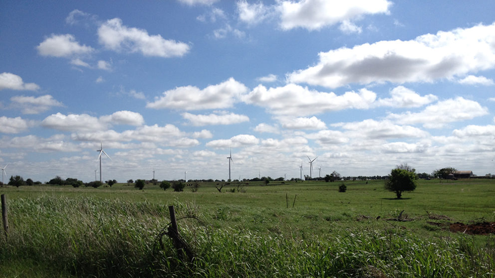
Timmons Group provided boundary survey and ALTA survey development services in support of the Karankawa Wind project located Northeast of Mathis, Texas. The project, initially comprising approximately 12,264 acres but eventually expanding to over 21,000 acres, is proposed in San Patricio and Bee Counties, Texas. For each of the 99 parcels of land included in the project, Timmons Group performed historical search of surveys, corners, and monumentation, establishment and retracing of boundary lines and corners, determination of current zoning classifications and encroachments, identification of substantial features, locating of existing utilities, roads, railroad tracks, pipelines, etc., and identification of adjoining land owners (as per public record). Deliverables included a CAD file of the boundary survey, a final pre-construction ALTA survey adhering to the 2016 Minimum Standard Detail Requirements for ALTA/NSPS Land Title Surveys, and shape files with owner name and parcel number information entered as attribute data, and provided to Avangrid Renewables ESRI’s ArcGIS Platform. Timmons Group also staked 81 WTG locations for use in micrositing activities.