Overview
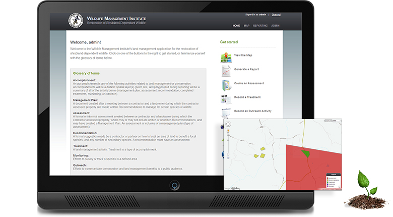
Timmons Group was contracted by the Wildlife Management Institute (WMI) to create a cloud-based spatial land management application to support tracking accomplishments. WMI’s goal was to build a system to consolidate and spatially track partners and contractor’s accomplishments as well as enable reporting on the assessments, recommendations, treatments, outreach and monitoring activities completed.
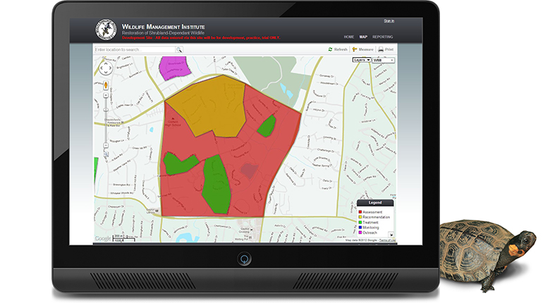
The solution developed for WMI required no software, support or server infrastructure to maintain. An easy-to-use Web application provided workflow-driven data entry forms that allow contractors and partners the ability to map assessments for public and private landowners as well as recommend and record activities and treatments. Collecting field data and synching them with a cloud-based data store allows workers the convenience of recording data while they are in the field.
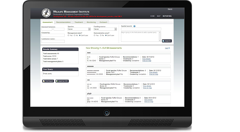
WMI’s solution also allows users to dynamically build reports and search and mine data elements captured in the field. The spatial search implemented in the application allows users to generate reports of all activities that intersect or fall within a GIS layer or layers. For example, users can generate a report to output all activities or accomplishments that fall within a county, a particular congressional district or within a specific conservation region.
The application also supports occasionally connected mobile devices (Android, iPhone, iPad, etc) that allow those gathering data in rural and remote areas and even within some structures where signals are often interrupted or unavailable to transmit data to the cloud as signals become available.