Overview
The Virginia Department of Forestry (VDOF) manages more than 15 million acres of forest in the commonwealth of Virginia. To protect and sustain forestland, the department collects data on and performs mapping of Virginia’s state forests. With an operational budget of $26 million, VDOF employs 272 salaried staff.
DOF needed to establish an enterprise GIS to improve operations and take advantage of current technology. To do this they chose Timmons Group, a civil engineering company with a large technology and geospatial services practice, to build and implement a geospatially enabled enterprise information system called the Integrated Forest Resource Information System (IFRIS). The first phase of the implementation was deployed in 2006 and consisted of an enterprise Web portal based on ArcGIS® Server. IFRIS allows users to spatially and temporally track activities and quantify time spent in terms of strategic goals, grant allocation, and cost sharing. For the second phase, VDOF needed to extend its investment in an enterprise geographic information system (GIS) to the field and allow remote field-workers to access business and geographic functions needed for daily routines.
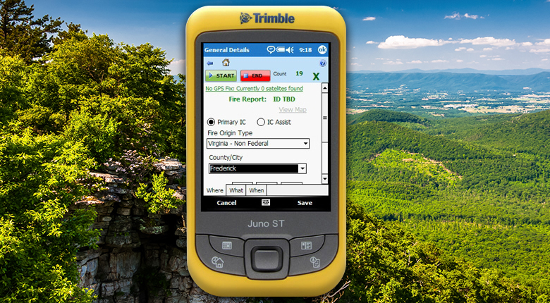
Specifically, Timmons Group needed to design an enterprise GIS application that allowed employees to track time and accomplishments out in the field and map forest-related activities such as forest stand observations, water quality harvest inspections, wildfire incidents, and woodland home communities. The key objectives were to reduce the time and expense of traditional field-worker activities as well as accurately and consistently capture field data for input into the enterprise GIS.
The Solution
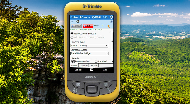
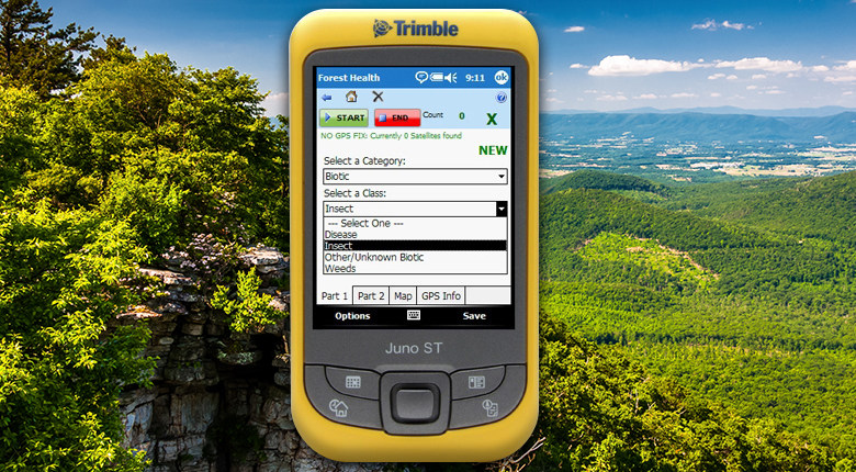
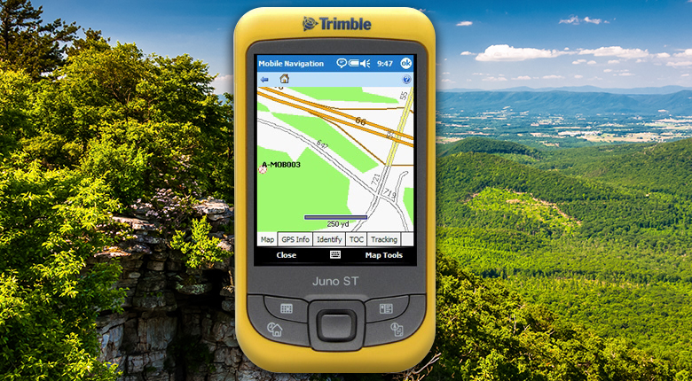
Timmons Group designed a mobile solution for VDOF that integrates GPS functionality, allowing staff to use Esri’s ArcGIS Server and ArcGIS Mobile software. All field-workers are equipped with Trimble® GeoXM™ devices running ArcGIS Mobile, SQL Server® Compact, and .NET Compact Framework 2.0. Field employees use the GeoXM device to collect feature data by cataloging attributes, such as pest infestations, on an inventory form along with GPS coordinates. GIS Web services push the GPS data and associated attributes from the mobile device to IFRIS Web. Mobile workers can now easily log every phase of the inspection process in the field while also recording time sheet information and monitoring observations and inspections that they recently completed. Uploaded field data and features can be immediately viewed via IFRIS Web, and a recently synced field data dashboard Web service allows the user to quickly zoom to data collected in the field.
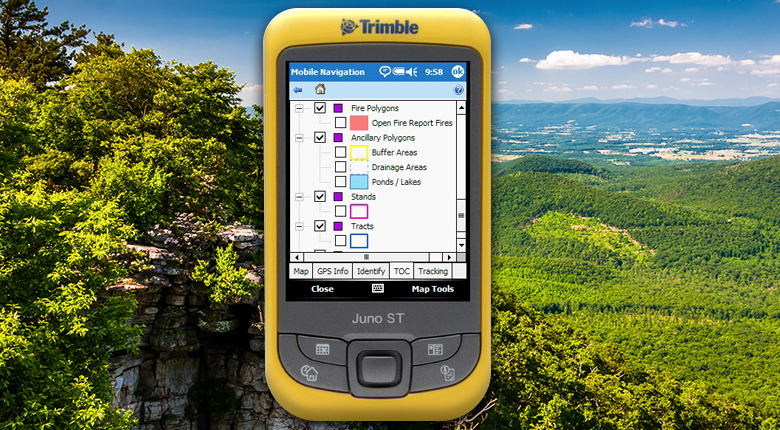
ArcGIS Mobile technology makes it faster and easier for field staff to capture data and describe the location and nature of critical forestry data. ArcGIS Mobile provides the ability to integrate mapping and GPS into a form-based data collection application. Mobile map services hosted by ArcGIS Server allow the upload process to be seamless and transparent to the forester or field-worker.
The Results
Workers are now able to monitor their recent work activity and fill out appropriate time sheets without having to return to the office. The system also reduced paperwork, eliminating 13 paper forms. Regional managers are now able to monitor the details of department projects and make rapid adjustments that target service resources to high-priority areas. The system also leverages Virginia’s geospatial enterprise platform, giving workers quick access to statewide basemap data, such as high-resolution digital orthophotography, and other geospatial services.
It is expected that within three years of implementation, VDOF’s mobile solution will yield a return on investment of 52 percent.