Overview
Timmons Group was engaged to assist the Missouri Department of Conservation (MDC) with their spatial land management efforts. The MDC is undertaking a large, enterprise-wide, application development effort termed Time Activity Location Online Notebook (TALON). The TALON application encompasses Forestry, Fisheries, Wildlife, Private Lands and Resource Infrastructure, Protection and Science.
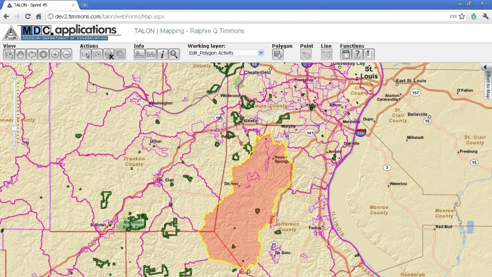
Timmons Group is working with the MDC GIS and IT staff to build out the on-line system. The TALON application is built on Esri’s ArcGIS Server technology. TALON allows users to spatially and temporally track activities and quantify time spent completing activities in the field. Work accomplished will be integrated into MDC strategic goals, grant allocation and cost sharing directly through a web browser. The solution includes an ArcGIS Desktop extension allowing advanced users to edit features on their desktop and push them to a centralized server using ArcGIS Server-based web services.
The TALON application is immense in scope in that it totally unifies the agency. At the end of the project, MDC will have a single Enterprise repository for all their Public and Private lands with integrated points of contact and activities performed on those lands. The application encompasses multiple departments and includes a large list of diverse land-based activities. Tracking these activities, accomplishments and agency Time/Leave in a centralized manner will result in many direct and indirect benefits to the agency.
For every completed activity, a point-in-time stamp of the current landscape is taken. MDC staff can use this derived information to look back at any area of land and determine what the conditions were at the time of that activity completion. This data-stamping function enables MDC to answer questions such as the total number of acres burned in voting district X with ease. TALON is based on Esri ArcGIS Server, enterprise REST services, and an Oracle RDBMS.