Overview
The Challenge
The City of Virginia Beach Department of Public Utilities (CVBPU) manages a comprehensive enterprise Esri-based GIS to better manage its utility networks for enhanced operations management and planning. Over time, the City has constantly improved the spatial accuracies of its utility assets. One of the challenges the City faced when improving positions through GPS or surveyed locations was the need to adjust large amounts of theoretically placed features, such as water meters and sewer cleanouts, and the further need to perform these updates without introducing large amounts of Versioned edits that impact both workload and external asset management systems.
The Solution
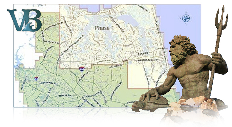
In August 2010, Timmons Group began a two-year project to complete surveying and recording of GPS coordinates of water meters and sanitary sewer cleanouts throughout the city that were installed prior to 1997. Many of the City’s older water meters and sanitary sewer cleanouts were installed prior to current-day surveying and computer recordkeeping techniques. Collecting precise locations of the older service connections will help Public Utilities respond more quickly to service calls, ensuring the highest level of customer service. The two-phase project started in the northern half of the City, and Phase 1 work is essentially complete. The second phase started in January 2012 to survey the southern half of the City and is planned to be completed by December 2012. The project is estimated to locate a total of approximately 129,000 meter and cleanout assets.
To address the GIS update issues, CVBPU collaborated with Timmons Group to develop workflows and processes utilizing a combination of Production Mapping tools, Geoprocessing, and Decimeter/RTK based Tablet-based GPS adjustment, that significantly reduced the level of effort associated with improving spatial locations without impacting the City’s geometric network rules and asset management system validation for new/revised features.