Overview
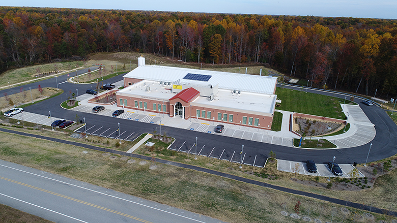
From site selection to construction, Unmanned Aircraft Vehicle (UAV) provide a new perspective on projects. Timmons Group holds its Federal Aviation Administration (FAA) Section 333 Exemption and has a licensed pilot on staff to fly an aerial drone.
Utilizing the on-board camera and GIS tools, drones allow for effective communication during pre-and post- site conditions. Drones capture quick and accurate data and safely allow assessment teams to cover more area in less time.
Our drones can be used for a variety of services, including:
• Aerial Survey: Timmons Group can capture topography, cartographic data, take inventory of natural resources, and identify adjacent buildings with the use of drones.
• Inspections: Drones allow us to reach places that were nearly impossible before, allowing our teams to evaluate projects more efficiently, safely and in a cost efficient manner.
• 3D modeling: The images and videos captured allow for a great communication tool and lay the foundation for building 3D models We are staying on the forefront of this technology as the future ahead looks exciting for drones.
We are dedicated to finding more ways to use drone technology as a cost-effective tool to enhance a variety of tasks including communication, assessment, and monitoring.
Tail number: N969TG 333
Exemption number: 14995
Docket number: FAA-2015-2529