Overview
We’ve developed an iPad field data collection application for URS to allow them to collect spatial and tabular storm damage assessment information and post their data to an ArcGIS Online feature service in a connected or disconnected environment.We began the project by gathering requirements for the application’s work-flow and form-based inputs. We designed a layout that would accommodate a large quantity of attribute information within the restraints of an iOS layout.
Features:
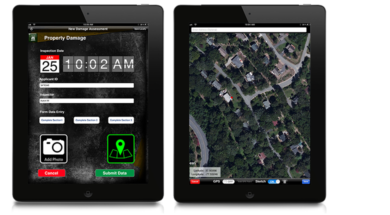
GPS Location – This feature allows the user to place a point and return the locational information to the device using the devices built in gps. Users can manually correct their location by moving the gps point on the map to ensure a precision.
Field Information Collection Forms –
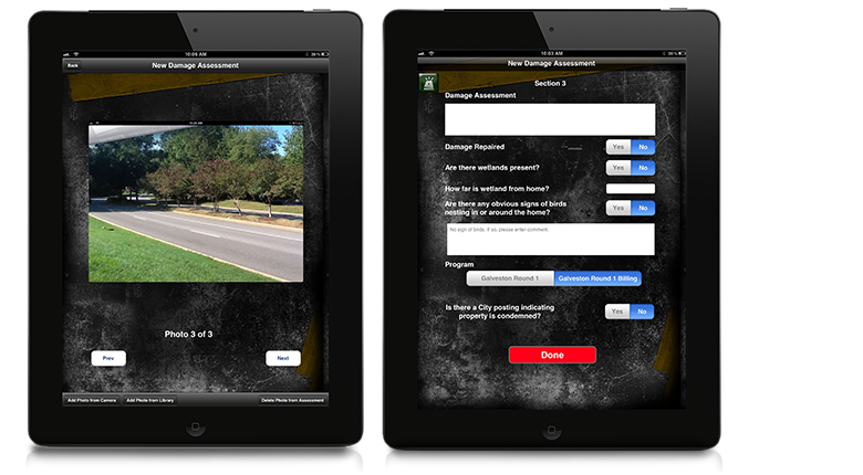
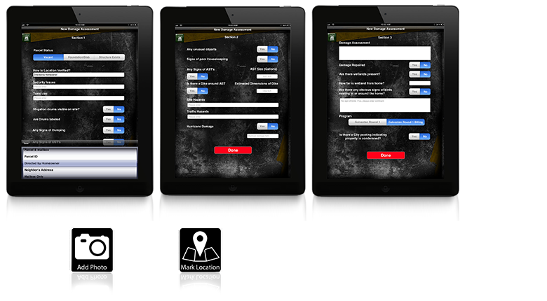
The user is presented with a defined list of questions that allow analysis of a particular site. These questions are presented as free text inputs and multiple choice answers.
Multiple Photo Capture –
This feature allows you to attach multiple photos to an asset either by using the devices built in camera or by attaching an existing photo from the devices photo gallery.
ArcGIS Online Integration –
The application submits data to a feature service hosted in ArcGIS Online. The service also updates the client’s internal ArcGIS Server with data collected from the field.
Connected and Disconnected Collection –
This application allows you to send the assessment data to the map service immediately if you have a wireless connection. If you do not have a wireless connection you can store your collected data and once connected, you can sync your data directly to the map service.
Map Visualization –
The application comes with a built in map viewer that allows the user to view aerial imagery of the area. The application is also designed so that the user can add their own custom spatial layers to the map throughsimple configuration settings.
